Navigation & trip planning are critical to the enjoyment, flow, efficiency and general maximisation of your days in the mountains.
After this course you will be able to:
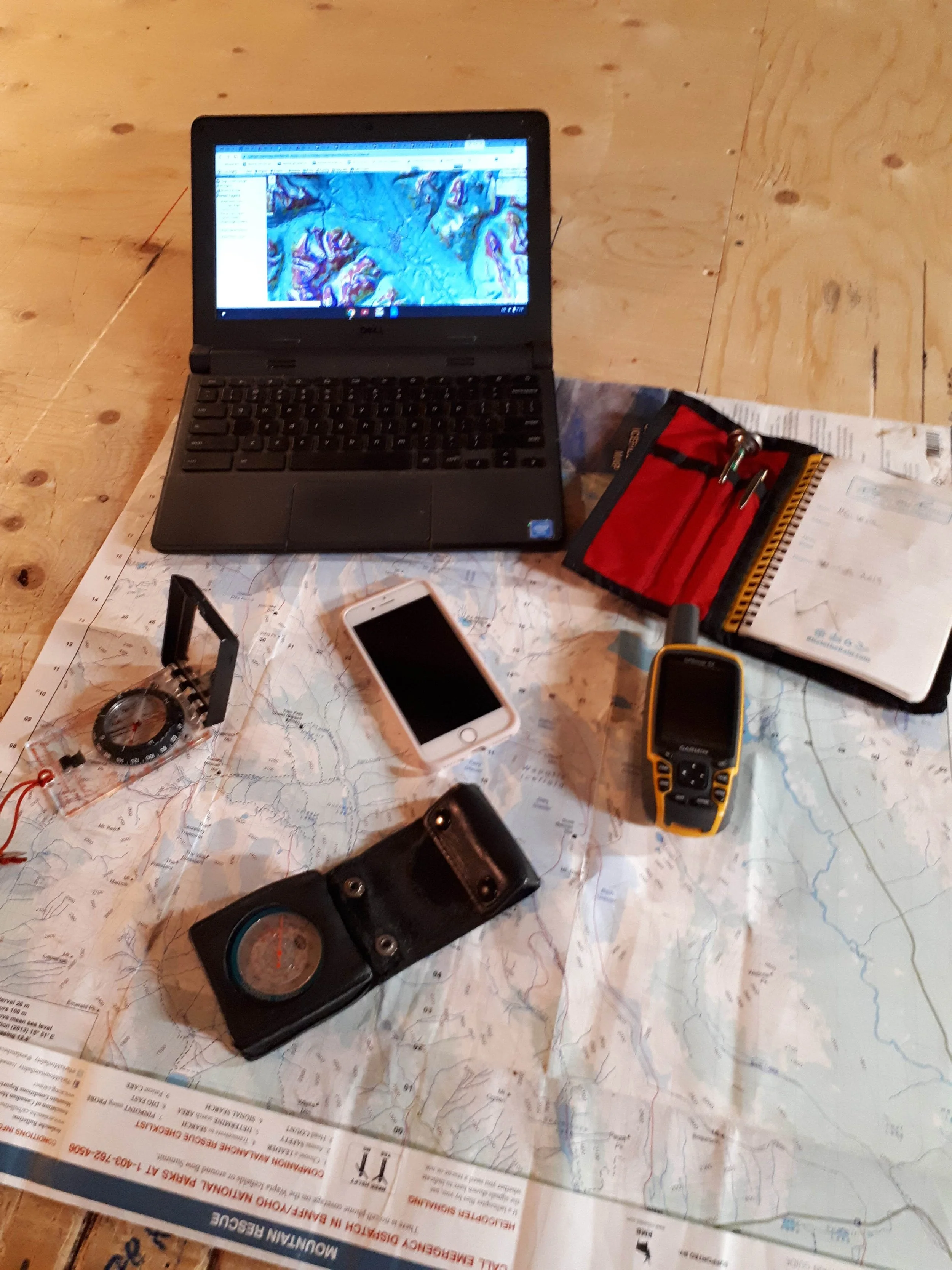
Plan a route on your laptop/phone.
Execute that route in the field using your phone or gps
Track your day in the field and transfer that track to your laptop (Caltopo/Google Earth)
Perform efficient and accurate pre-trip time estimating
Print a hardcopy map from Caltopo
Identify skiable vs. non skiable terrain on a map/laptop
Confidently make time based decisions in the field
Have a tool box for mountain navigation and landmarking ski runs in the field without phone/gps
Understand the strengths and weaknesses of different navigational tools & when to use what tool.
Being confident onsighting new terrain.
Course is two evenings for 3 hours each plus a full field day. Participants need to be able to ski/split at least 800 vertical meters.
December 10,11(6-9pm calgary classroom) & 13th(field day)